A-B. Starting from the mapboard at the car park, follow the purple (and green) arrow past the barrier. (The green arrows are for the shorter Knockballiniry Loop). Follow the forestry roadway for 600m to reach a 3-way junction where the loops separate – the green loop turns right but you veer left.
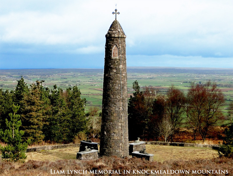
B-C. Continue to follow the purple arrows along the forestry roadway for almost 2km. Note also that you are following the East Munster Way – a long distance route marked with the familiar yellow walking man and arrows. After 2km, you reach a 3-way junction where both routes (the Way and the Loop) turn left toward the Liam Lynch Monument. After another 1km you reach another 3-way junction – here the loop turns right and leaves the East Munster Way. [Note: If you wish to view the monument it is only a 200m trip along the Way – don’t forget to return to this junction.]
C-D. Over the next 1km the loop ascends again and then descends to reach a T-junction where you turn left. For almost 2km you travel along the shoulder of Crohan Mountain (on your left) before descending to reach and cross a ford. This marks the farthest point from the trailhead – you now swing right (north) and begin the trek homeward. After 2km you reach a T-junction and turn right, a 300m descent takes you round a sharp left bend, and another 1km takes you a T-junction where you rejoin the green loop and turn left.
D-A. You are on the home stretch! Follow the purple and green arrows past a roadway on your left after 300m. After 1km you reach a T-junction where both loops turn right. Enjoy the 100m back to the trailhead.DescriptionsAscent
360m/280mDistance
12kmGrade
Moderate Minimum Gear
Hiking boots, raingear, fluid, snack and mobile phoneServices
Goatenbridge (1km), Newcastle (3km)Terrain
Forestry roadways
Nature Trailhead
Goatenbridge, Co Tipperary, OS Sheet 74, S080 122